Home > Explore > Land Trails
Wards 7 and 8 are home to a growing network of trails, green spaces, waterways, and natural areas that connect residents to parks, neighborhoods, recreation, and community destinations. Whether you're looking for a scenic walk, a bike ride, a family outing, or a connection to nature, these trails offer opportunities to explore East of the River.
Approximate Length: 7 Miles
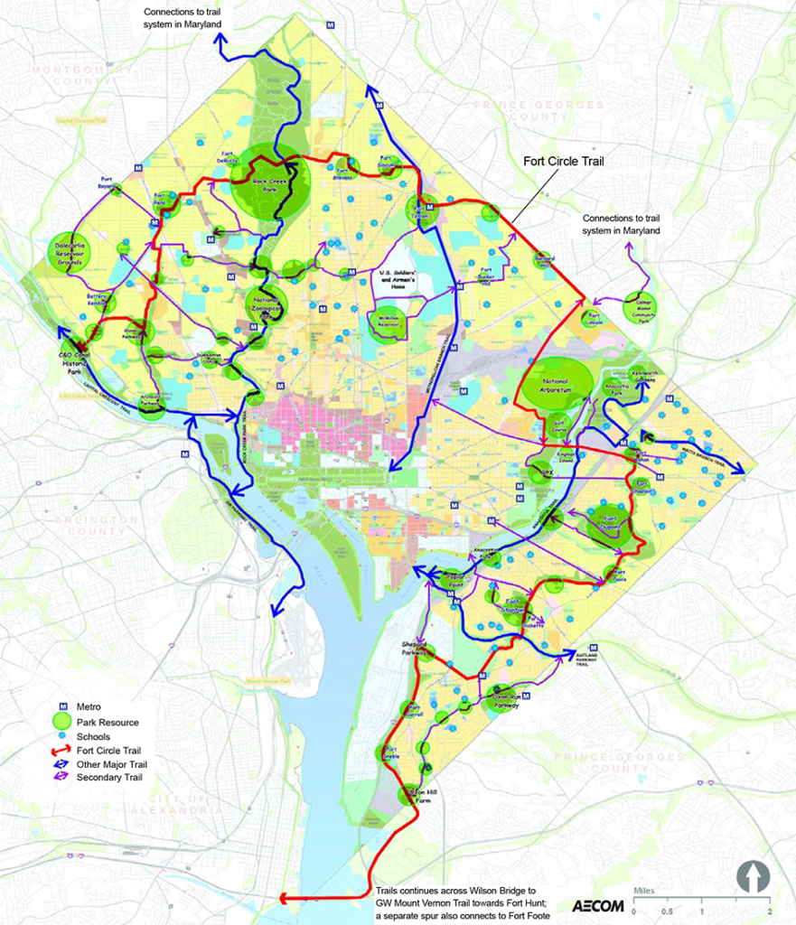
A network of existing trail segments connecting Civil War-era forts, historic sites, and parklands across Washington, DC.
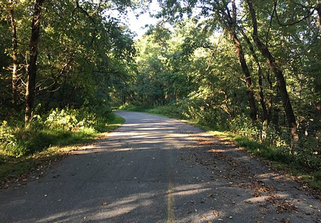
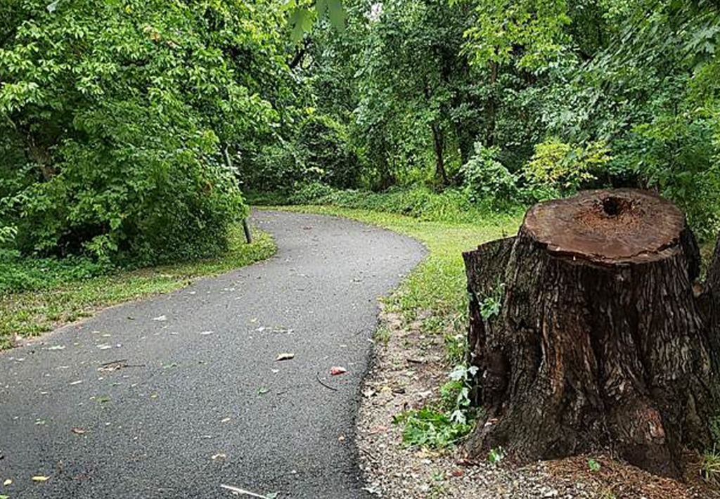
Wooded trails, rolling terrain, historic landscapes, and opportunities to explore some of the city’s largest natural areas.
Fort Dupont Park, Fort Davis Park, Fort Stanton Park, and other Civil War Defenses of Washington sites.
Walking, hiking, history exploration, nature observation, and outdoor recreation.
Approximate Length: 3.4 Miles
A neighborhood trail that follows Oxon Run through Ward 8, connecting residents to parks, schools, recreation areas, and community spaces.
Open green spaces, streamside views, playgrounds, athletic fields, and neighborhood gathering places.
Oxon Run Park, recreation centers, community gardens, schools, and playgrounds.
Walking, biking, family outings, exercise, and community events.
Approximate Length: 21 miles (regional network)
A multi-use trail that follows both sides of the Anacostia River, connecting neighborhoods, parks, waterfront destinations, and regional trail networks throughout Washington, DC.
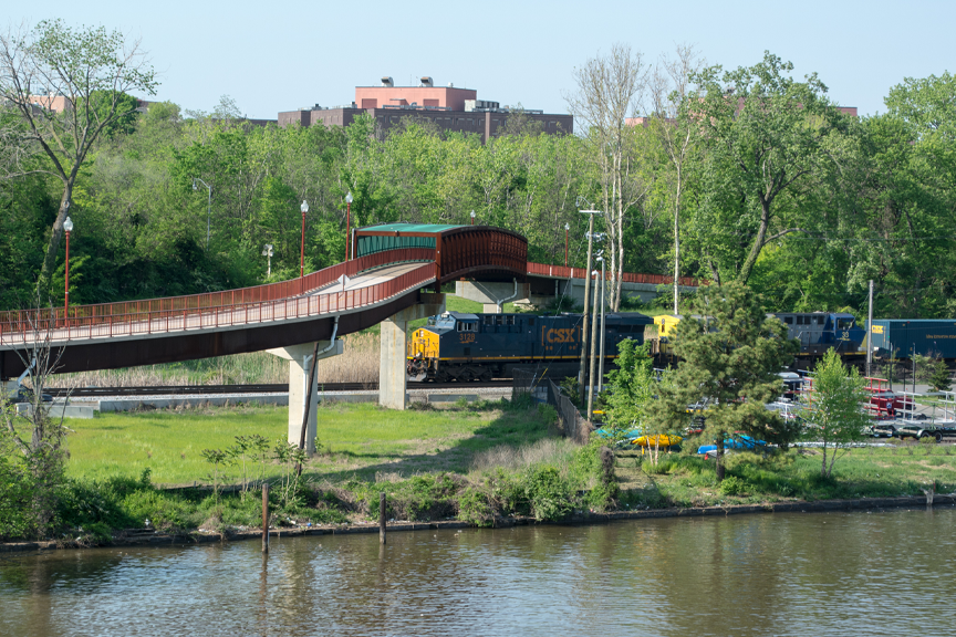
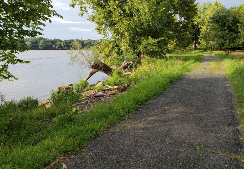
Enjoy river views, wetlands, wildlife, public art, bridges, and open spaces. The trail offers opportunities for recreation, active transportation, and experiencing the Anacostia River up close.
Anacostia Park, Kenilworth Aquatic Gardens, Kingman Island, RFK Campus, Navy Yard, and the Anacostia neighborhood.
Walking, biking, running, birdwatching, commuting, nature exploration, and family outings.
Approximate Length: 4.1 Miles
A multi-use trail running through Marvin Gaye Park, connecting neighborhoods with recreational facilities, green spaces, and community amenities.
Active community spaces, gardens, playgrounds, fitness areas, and opportunities to enjoy one of DC’s most successful urban park revitalization projects.
Marvin Gaye Park, recreation centers, community gardens, and neighborhood commercial corridors.
Walking, biking, exercise, family outings, and community gatherings.
Approximate Length: 1.7 miles within the District
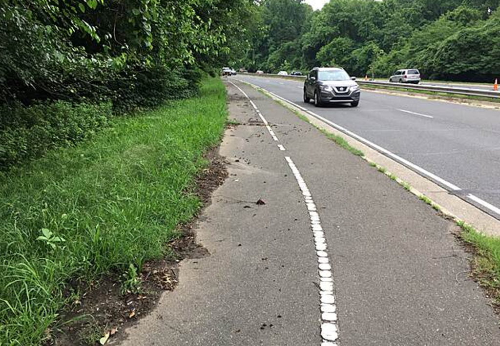
A trail corridor that generally follows Suitland Parkway and connects neighborhoods, parks, and destinations in Washington, DC and Maryland.
Wooded landscapes, natural scenery, and a quieter experience compared to many urban trails.
Fort Dupont Park, Hillcrest, neighborhood parks, and regional Maryland trail connections.
Walking, biking, nature observation, commuting, and exploring local parks.
Approximate Length: 3.1 Miles
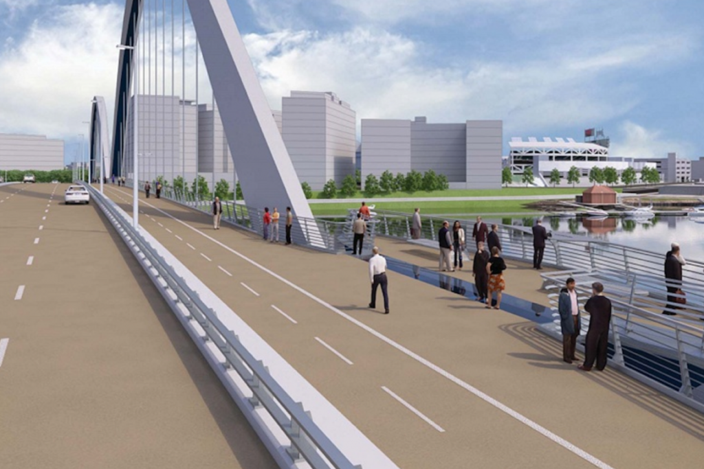
A proposed rail-trail corridor that would transform a former rail line into a multi-use trail connecting neighborhoods East of the River with parks, community destinations, and regional trail networks.
Planning efforts envision a green corridor that could provide new opportunities for recreation, active transportation, nature access, and community connection.
Anacostia Park, Fort Dupont Park, Fairlawn, Penn Branch, Dupont Park, and Hillcrest.
Future opportunities for walking, biking, recreation, commuting, and neighborhood connectivity.
Approximate Length: 3.8 miles
A planned trail corridor intended to improve bicycle and pedestrian connections between neighborhoods, employment centers, parks, and regional trail networks.
Future plans envision enhanced mobility, recreation, and transportation options along the South Capitol Street corridor.
St. Elizabeths East, Congress Heights, Buzzard Point, entertainment venues, and regional trail connections.
Future opportunities for walking, biking, commuting, recreation, and neighborhood access.


Together, we're creating opportunities for everyone to experience the health, recreation, and community benefits of trails.
Your donation to DC Go-Go Trails Collective supports our efforts to plant, care for, and protect trees in the national capital region. Help ensure everyone has access to the beauty and benefits that trees provide.
Trail Information Disclaimer
The trail information provided is for general educational and informational purposes only. Trail conditions, accessibility, amenities, route alignments, and project status may change over time. Approximate trail lengths are estimates and may vary depending on route selection, access points, and future trail improvements. Visitors should verify current conditions and follow all applicable rules, signage, and guidance from managing agencies and property owners before visiting.
2026 DC Go-Go Trails Collective: East of the River. All rights reserved. | Design by Eye of the Storm Media